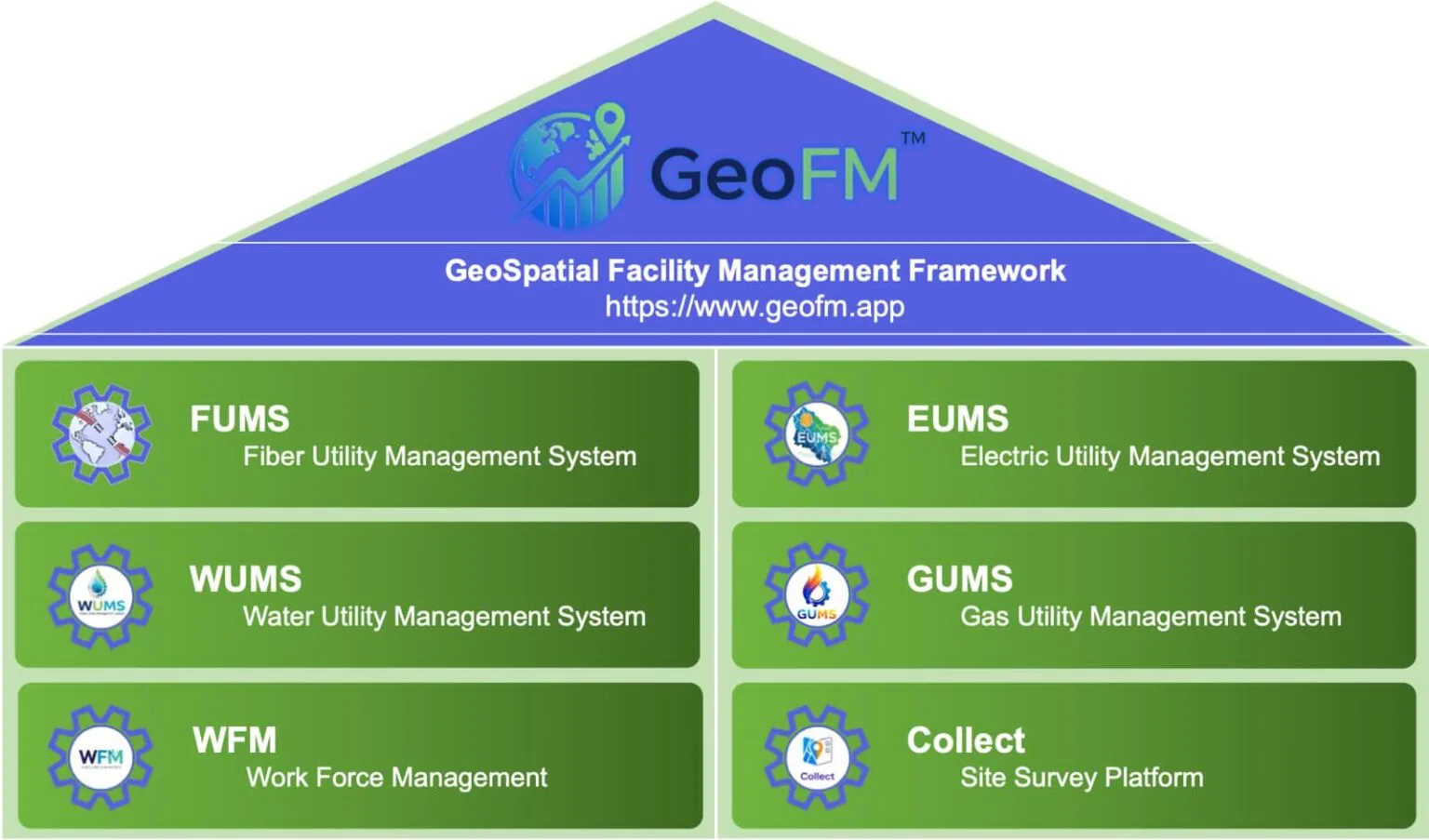

FUMS
Comprehensive system for planning, monitoring and managing fiber optic infrastructure and telecom assets.

GUMS
A geospatial platform designed to manage gas distribution infrastructure, pipelines, and utility assets with advanced GIS visualization

Collect
Mobile-based application used for field data collection, infrastructure surveys and real-time asset data capture

EUMS
Manages electrical network assets including substations, distribution lines and power infrastructure using GIS-based mapping

WFM
Enables efficient management of field teams, task assignments and workforce operations for infrastructure projects
WUMS
Provides monitoring and management of water supply networks, pipelines, and related infrastructure assets.
usecse

Telecom Operator

Fiber Providers
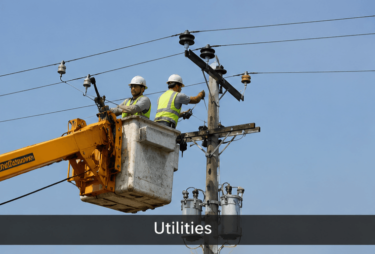
Utilities